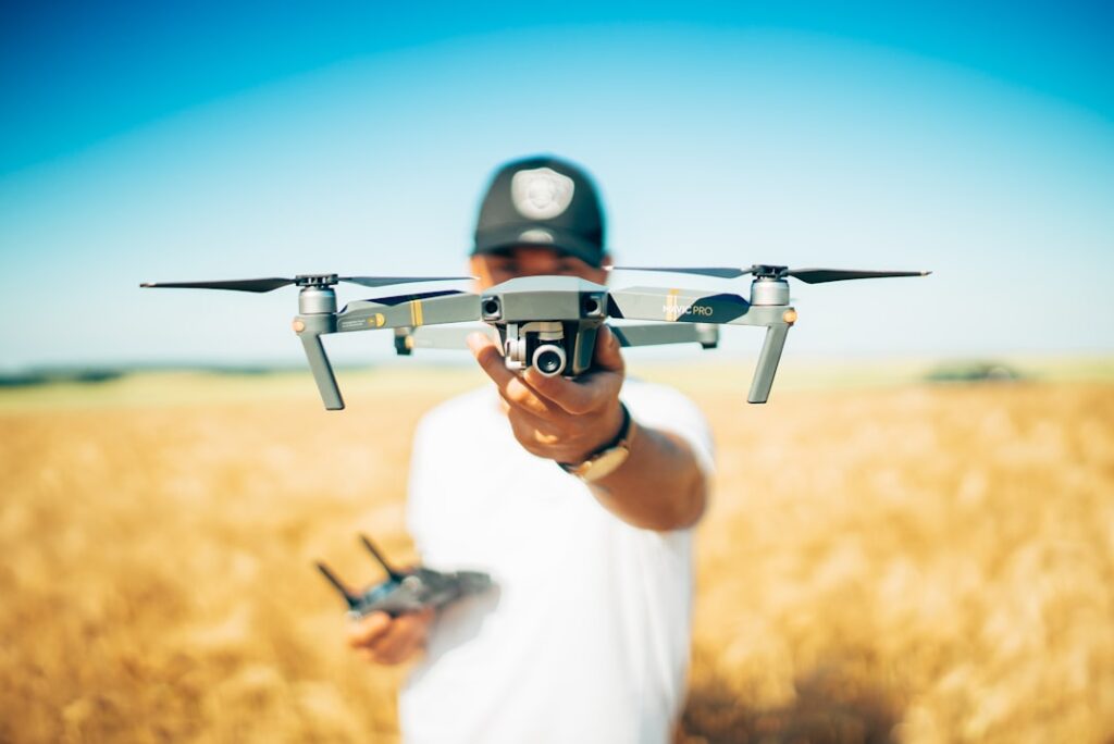

In industrial settings, drones offer a safer way to inspect hard-to-reach structures. Take wind turbines, for example. Climbing them for inspections is risky and time-intensive. Flying a drone close to blades and towers captures sharp images that reveal cracks, corrosion, or loose bolts. Operators typically review these images with engineers to prioritize maintenance tasks efficiently. This method keeps workers off ladders and platforms, cutting safety risks and downtime. Maintenance crews often note that thermal cameras mounted on drones also help spot hotspots before they turn into failures.
Land surveying has evolved significantly thanks to UAV technology. Instead of deploying large teams with GPS devices dragging equipment across tough terrain, drones can rapidly scan sites using LiDAR sensors combined with GPS data. These scans produce accurate topographical maps that help planners visualize elevation changes and drainage patterns early in the design process. Surveyors save days of fieldwork, and the resulting digital models reduce errors common in manual measurements. It’s common for teams to cross-check drone maps with previous surveys to catch discrepancies before they affect construction.
Utility inspections are another practical application. Power lines stretching for miles demand regular checks to prevent outages or hazards. Walking or driving along these lines is slow and dangerous, especially in remote areas or rough weather. Drones equipped with cameras and thermal sensors can identify damaged insulators, sagging cables, or overheated transformers quickly. Real-time video feeds allow control centers to dispatch repairs only when necessary, cutting unnecessary trips and reducing costs. Field operators often keep a checklist derived from drone footage to track recurring issues during routine maintenance.
Beyond inspections and mapping, many companies benefit from 3D modelling created by drone data. High-resolution photos taken from multiple angles feed into software that builds precise 3D representations of buildings, terrain, or infrastructure. These models assist architects and engineers in visualizing projects before ground breaks, making adjustments easier and less costly. Tailoring drone flights to collect specific data points lets teams address unique challenges like tight spaces or complex geometry. Regularly updating models with fresh drone scans helps monitor construction accuracy and progress over time.
Regulatory compliance remains an important consideration when deploying UAVs. Operators must stay current with local laws regarding flight permissions, altitude limits, and privacy rules. Failing to follow these can lead to fines or grounded equipment. Companies often designate a staff member to handle permits and ensure flight logs are maintained for audits. Since drones replace some manual inspections, they can reduce labor costs associated with safety training and insurance but don’t eliminate the need for responsible operation.
Keeping up with advancements in drone technology is practical for businesses relying on aerial data collection. Industry news covers new sensors, software updates, and changing regulations that affect operations. Following regional uav regulations updates helps teams adapt processes before issues arise. Staying informed also means spotting opportunities to improve data quality or reduce costs by adopting emerging tools early.
Drone videography services offer versatile benefits across sectors, from capturing marketing shots to delivering precise engineering data. Their ability to gather comprehensive aerial views fast and safely makes them indispensable on modern job sites. Integrating these technologies thoughtfully within workflows can prevent miscommunication, improve planning accuracy, and cut expenses related to manual inspections or surveys.